UN World Geospatial Information Congress
Communications
Communicating the value of geospatial at UN World Geospatial Information Congress
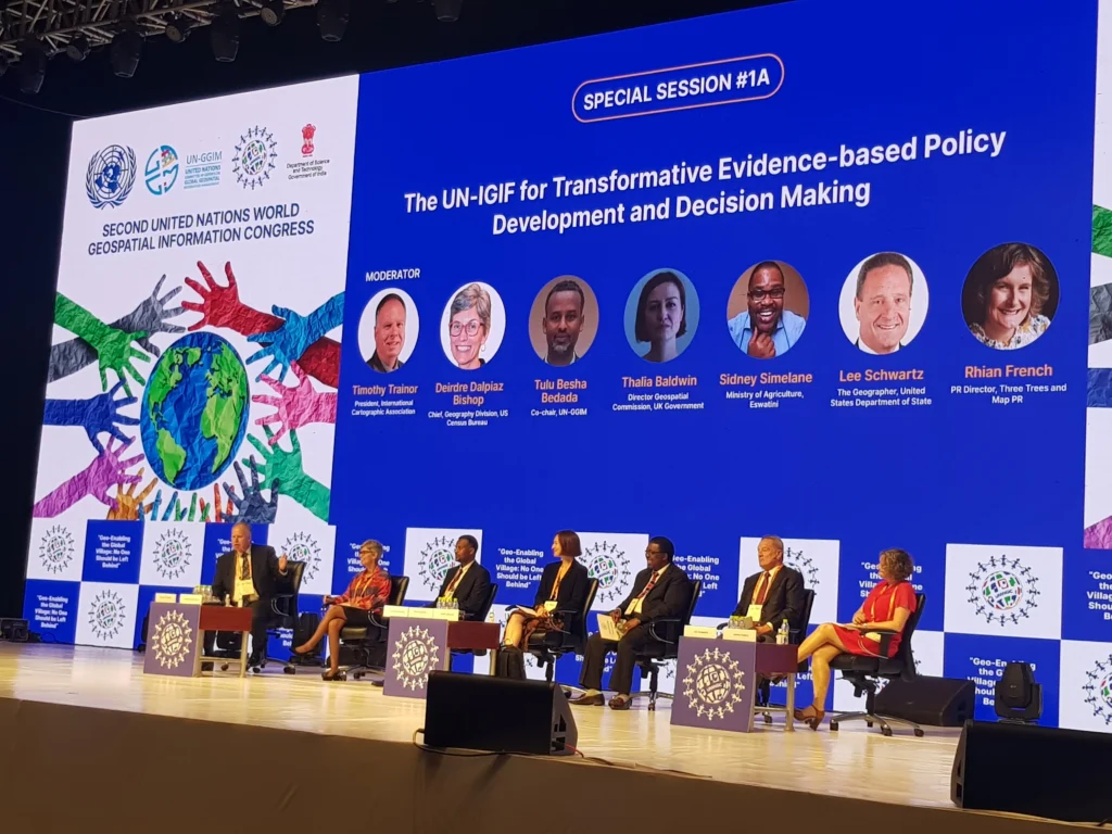
It was a pleasure to take part in a panel discussion on communicating the value of the UN Integrated Geospatial Information Framework (IGIF) at the UN World Geospatial Information Congress.
My thoughts built on my presentation, Leveraging a love of maps to tell the story of data in a digital world which on creating compelling strategic messaging to take stakeholders on a journey that challenges their perceptions of national mapping.
Storytelling and maps have a strong connection. From Tolkien’s sketch of Middle Earth to today’s immersive, interactive apps, maps bring landscapes to life providing context and clarity in aesthetically pleasing ways.
With the on-going popularity of both online and paper formats, there is no doubt that people continue to hold maps in their hearts. The question for us, the global geospatial community, is how do we leverage this love to develop our own narrative? The presentation focused on:
- Ways to tell the story of national geospatial data’s evolution from simply showing ‘where’ something is, to revealing insights into ‘how’ and ‘why’ things happen.
- Suggested language for positioning data as an important digital tool for the modern age.
- Techniques to support Member States in implementing Strategic Pathway 9 of the Integrated Geospatial Information Framework (IGIF).
- Ways to think creatively about tmessaging and implement new ideas to position data as an invaluable – and trusted – national asset
In addition, was delighted to provide the keynote on how to be maximise the UNWGIC experience through networking and social media at Women in Geospatial’s special side event.
I highlighted how participants at the 2nd UN World Geospatial Information Congress could:
- Make their voice and thoughts heard via social media using appropriate images and hashtags.
- Updating their social profiles using the right keywords to reach the right people.
- Techniques to extend the reach of social media posts beyond their immediate network.